Table of Contents
Idaho’s Rail to Trail Star
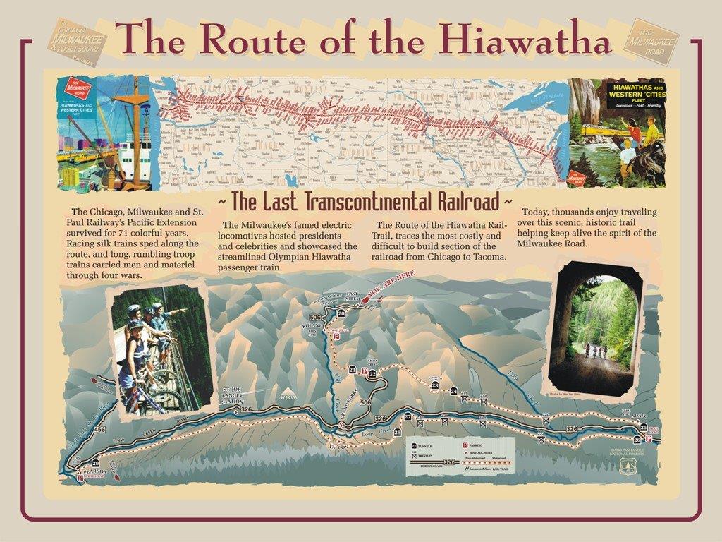
Trestles, tunnels and trails… biking the “Route of the Hiawatha” is a 15 mile bike trail that covers part of the Olympian Hiawatha railway route over the Montana and Idaho border. It is one of only 15 US bike trails named to the “Rail Trail Hall of Fame” by the Rail-to-Trail Conservancy. The trail begins in St. Regis, Montana and runs downhill through Idaho’s Bitterroot Mountains to the North Fork of the St. Joe River in Pearson. The photos of bikers on the sky high train trestles in the “Visit Idaho” magazine make you want to jump on your bike and go!
The History of the Hiawathas
The “Hiawathas” were a fleet of passenger trains operated by the Chicago, Milwaukee, St. Paul and Pacific Railroad (also known as the “Milwaukee Road”). The railroad line chose the name for their fast, electric streamlined trains from the epic poem “The Song of the Hiawatha” by Henry Wadsworth Longfellow.
“Swift of foot was Hiawatha, He could shoot an arrow from Him, and run forward with such fleetness that the arrow fell behind him.”
The “Olympian Hiawatha” service ran between Chicago the Pacific Northwest. Its’ introduction in 1947 created a new level of luxury for its passengers. In addition to its’ billing as a “speedliner”, it offered glassed-in “sky top” observation sleeping cars, fine dining and white gloved service. It later featured full-length “Super Dome” cars.
Highlights of Biking the Hiawatha Trail
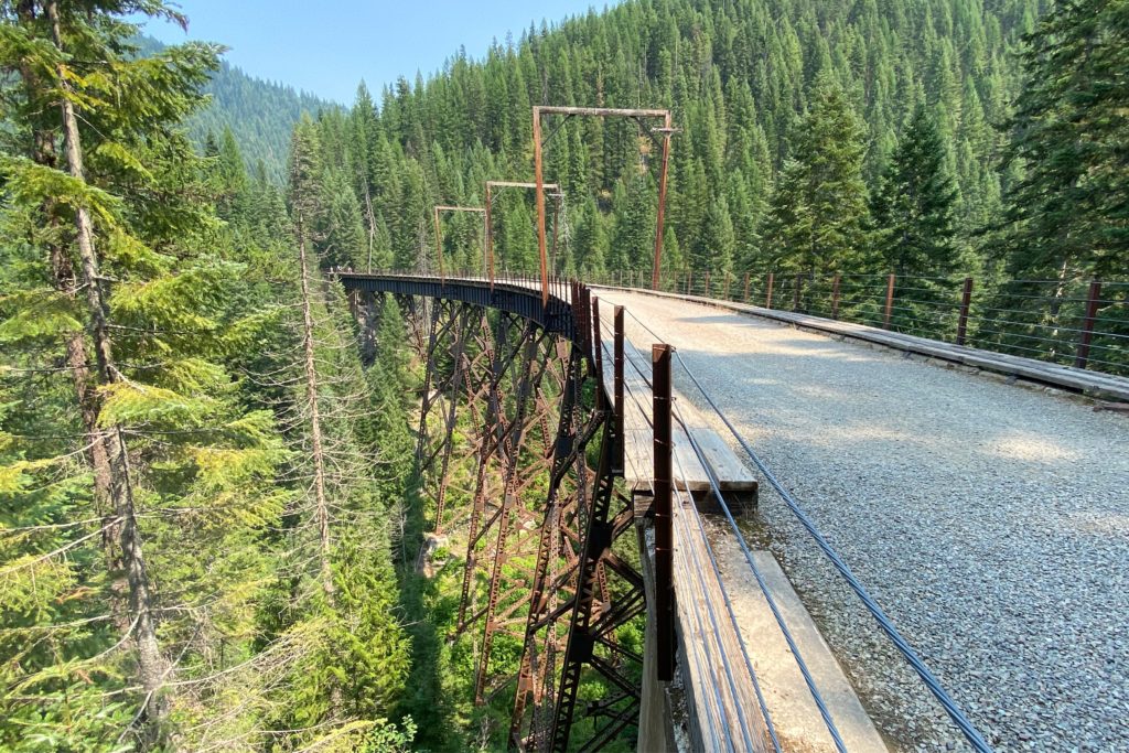
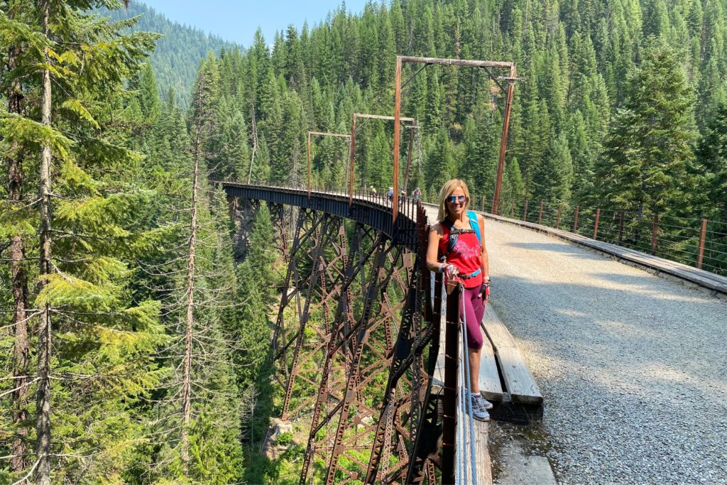
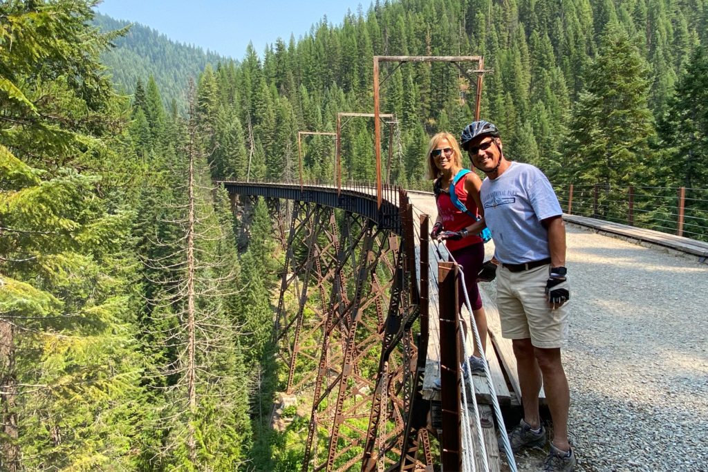
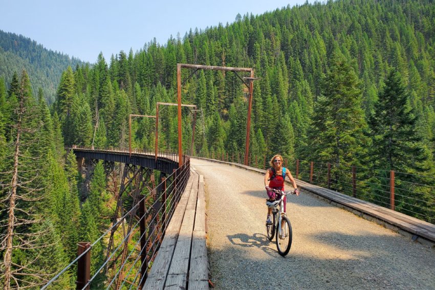
Our summer road trip included exploring Idaho – and this epic ride, with ten tunnels, seven trestle bridges and fifteen miles of beautiful scenery – topped our “must do” list.
The trail itself surpassed the photos, with rays of sun and shadows through the old ponderosa pines looming above and the steel trestles connecting stunning valleys of rugged Idaho wilderness. The signage along the route offered glimpses into the history of the area and the railways. While we enjoyed most of the experience, there are several things that are good to know before you hit the trail.
6 Things to Know Biking the Route of the Hiawatha
1. When is the Route of the Hiawatha open?
The trail is open to purchase tickets and ride from late May to mid-September. www.ridethehiawatha.com
2. What type of bike is recommended on the Hiawatha trail?
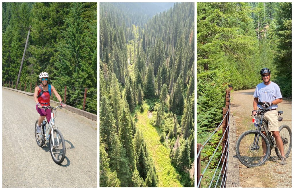
The 15 mile route is gravel and/or mud (in the tunnels). We had one mountain bike and one hybrid bike and both handled the trail easily. Bikes with a fender over the rear wheel will make the ride much less muddy.
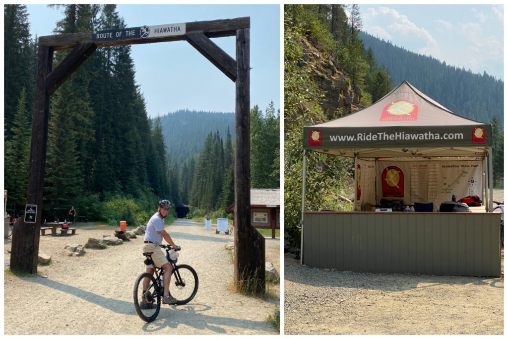
3. What is required to bike the Hiawatha?
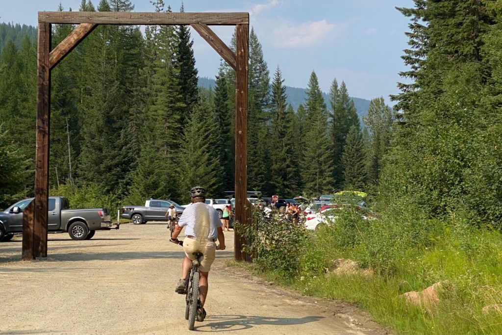
Tickets to ride the Route of the Hiawatha must be purchased at the Lookout Pass Ski Area, which is about seven miles from the Hiawatha Trail Head. Both bike and the high powered lights required for the tunnels are available to rent there as well. To see anything at all in the first two mile tunnel a light is absolutely mandatory. Rental bikes require reservations in advance and inventory does book up in the summer months. Transporting the bikes to the start at the East Portal of the St. Paul Pass Tunnel is not included in the rental, so you either need a bike rack or to pay an extra fee for the bike to be shuttled over to the East Portal. Once you have your tickets and equipment, the drive to the East Portal is about seven miles on the interstate over the Montana border and back a forest service road to the parking area.
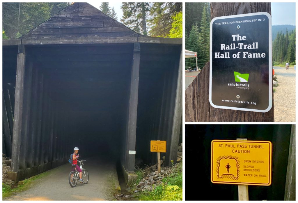
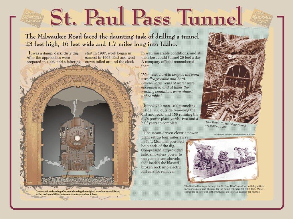
4. What should we know about St. Paul’s Pass Tunnel biking the Hiawatha?
The East Portal of the Route of the Hiawatha starts right into the two mile St. Paul Pass Tunnel.
A small yellow sign to the right of the entrance says: “Open ditches. Sloped shoulders. Water on trail.”
What is should say is: “45 degrees all the time. Wet and dripping. Very muddy.”
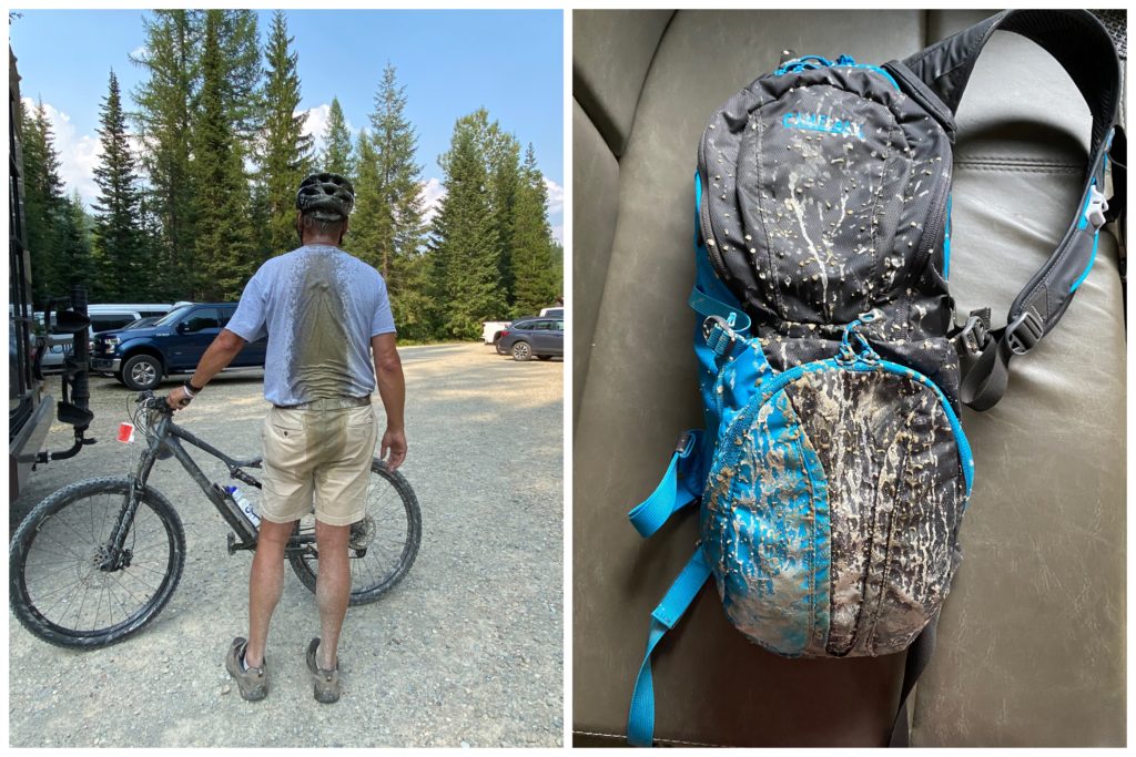
Without our rental lights we would not have been able to see anything. As it was, even with the lights it was difficult. Any “lights at the end of the tunnel” were just the high powered lights of oncoming bikers. I found myself wondering “Why on earth would they be doing this tunnel twice?” The constant dripping and wetness, as well as navigating in the dark, prevented me from realizing the constant spitting mud that was slowly covering us as we progressed. When we emerged into the daylight I saw mud spattered all over the front of me… and then I saw Scott’s back and realized that even more mud was on the back of our legs, seat and backs… not to mention the bikes themselves.
5. Once you bike down the Hiawatha how do you return to your vehicle?
The most common ride biking the Route of the Hiawatha is the 15 miles from the East Portal to Pearson. From there you can either ride back up the same route or, as most riders do, buy a shuttle ticket back up. Since we were not sure how difficult the uphill portion would be we purchased the shuttle return tickets when we purchased our trail tickets.
Two important things we learned:
A) The wait for the return shuttle bus service is easily over an hour. That said, there is often wildlife to see on the shuttle road back.
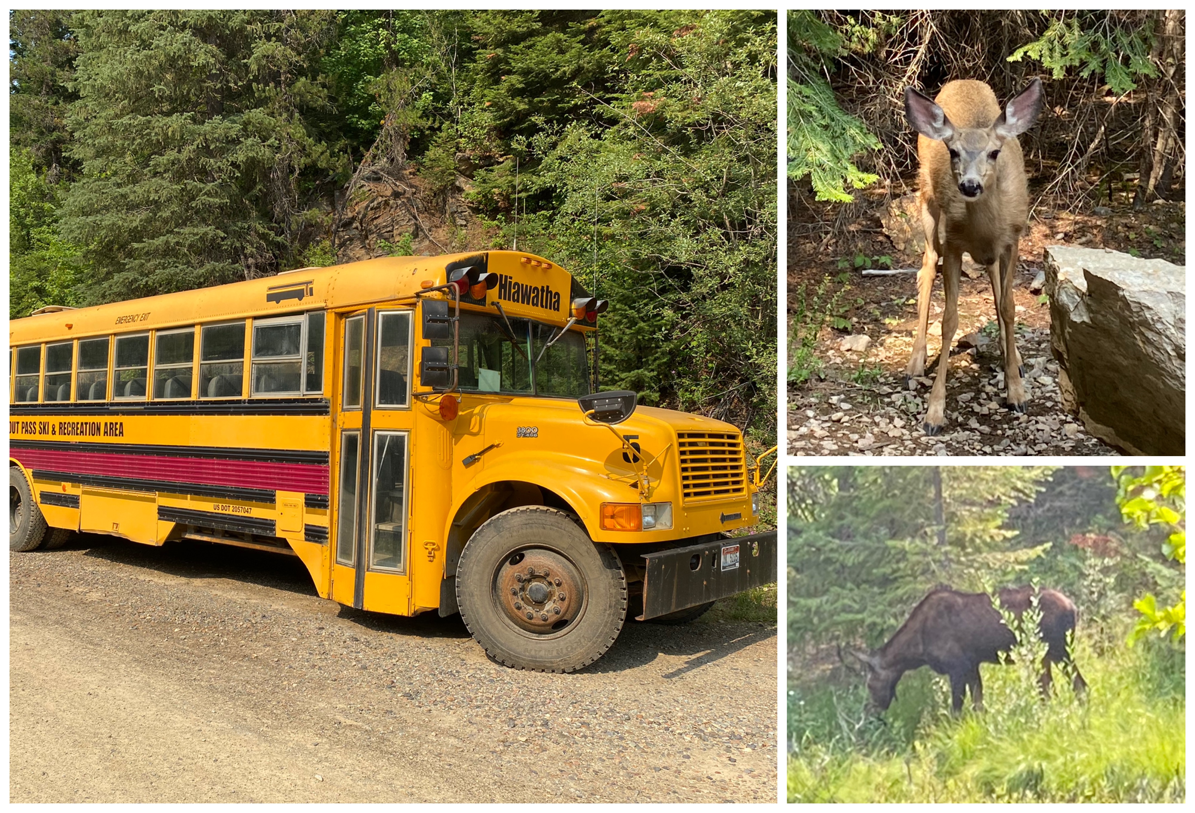
B) Most importantly … THE BUS ONLY TAKES YOU TO THE WEST PORTAL OF THE ST PAULS PASS TUNNEL … MEANING THAT YOU HAVE TO BIKE TWO MILES BACK THROUGH THE COLD, DARK, MUDDY TUNNEL TO GET THE PARKING AREA … RIGHT BEFORE GETTING IN YOUR VEHICLE TO LEAVE. If it was possible, the return trip was even muddier and felt colder than the first trip!
6. Is there an alternate Hiawatha route to avoid the St. Paul Pass Tunnel?
While there is a forest service road up and over the mountain from the East Portal to the West Portal, it is not a road suitable for RVs and larger vehicles. Even with four wheel drive it is a bit treacherous for smaller vehicles.
Biking the Hiawatha … would we ride again?
Thirteen miles of the Hiawatha trail were stunning. We really enjoyed the scenery, the adventure and learning the history of the area. The four miles in the dark, wet, muddy St. Paul Pass Tunnel, however, would be a huge deterrent to a repeat ride. Since the grade of a rail trail is so mild (rail routes require a grade of around 1.5%) we could have definitely made the ride back up. The next time we do this ride, our ideal route would be to take our bikes by car (not an RV road) into the end at Pearson. From there we would ride the 13 miles up the trail, turn around at the West Portal before the tunnel and ride the 13 miles back down the trail to our vehicle. That would be a fun 26 mile workout as well!
For first-timers choosing the traditional route, renting or taking a bike with a rear fender will definitely reduce the mud factor. Either way – if you enjoy biking – the Route of the Hiawatha is an Idaho highlight and the adventure is definitely worth it!

Fascinating! And adventurous!
Does one get muddy in the front with no front fender? 😊
Such beauty to top it all off!
Yes muddy in the front as well… but not quite so much!!! 🙂